台風10号に警戒呼び掛け 勢力強め西日本接近―気象庁・国交省
台風10号が27日以降、強い勢力で奄美から西日本へ接近する見通しとなり、気象庁と国土交通省は26日、大雨による土砂災害や河川の氾濫、浸水、暴風に厳重な警戒を呼び掛けた。
同庁の立原秀一・主任予報官は記者会見で「予報円が非常に広く、進路や上陸の予想が難しい」とした上で、「台風の動きが遅いため、広い範囲で29日正午までの24時間予想雨量が300~400ミリと、大雨災害の可能性が高まっている」と説明した。特に宮崎県では平年の8月の1カ月分を超える雨が降る恐れがあるという。
国交省の尾松智・河川保全企画室長は「停電や断水も視野に準備を整え、改めてハザードマップの確認をしてほしい」と話した。
10号は28日に非常に強い勢力に発達する見込み。同日に予想される最大瞬間風速は九州南部と奄美60メートル、九州北部45メートル、四国35メートル。
27日午後6時までの24時間予想雨量は多い所で東海180ミリ、近畿、九州南部120ミリ、四国、奄美100ミリ。愛知、岐阜、三重、静岡各県では、同日午前中に線状降水帯が発生する可能性があるという。
10号は26日午後6時、奄美大島から東へ離れた海上を時速10キロで西へ進んだ。中心気圧は980ヘクトパスカル、最大風速35メートル、最大瞬間風速50メートル。中心から55キロ以内が風速25メートル以上の暴風域、北東側390キロ以内と南西側220キロ以内が風速15メートル以上の強風域。(2024/08/26-22:07)


Strong Typhoon Shanshan Expected to Approach Western Japan
The Japan Meteorological Agency and the land ministry on Monday warned of possible landslides, swollen rivers, flooding and strong winds as strong Typhoon Shanshan is forecast to approach western Japan from Tuesday.
"It is difficult to predict the course (of the typhoon) and when it may make landfall," Shuichi Tachihara, chief forecaster at the agency, said at a press conference.
"As the typhoon is moving slowly, the possibility of a heavy rain disaster is increasing, with rainfall of 300 to 400 millimeters forecast for a wide range of areas in the 24 hours through Thursday noon," Tachihara noted. In particular, rainfall in the southwestern prefecture of Miyazaki may exceed the average monthly rainfall for August, he added.
Satoshi Omatsu, head of the land ministry's river management office, called on people to prepare for possible power and water outages and to check hazard maps.
Due to the typhoon, Central Japan Railway Co., or JR Tokai, said Monday that it may cancel Tokaido Shinkansen bullet trains between Thursday and Saturday. West Japan Railway Co., or JR West, said it may suspend its Sanyo Shinkansen line on Thursday and Friday.
最新ニュース
-
ヤクルト、田中将を「調査」=石川とは既に交渉―プロ野球
-
広島の坂倉が右肘手術=プロ野球
-
12月電気料金、9社値下がり=燃料価格下落で
-
河本、姉と「満点のタッグ」=ゴルフ日本シリーズ
-
巨人の吉川、最多得票に驚き=ゴールデングラブ賞表彰式―プロ野球
写真特集
-
【野球】慶応大の4番打者・清原正吾
-
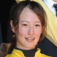
【競馬】女性騎手・藤田菜七子
-
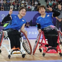
日本人メダリスト〔パリパラリンピック〕
-
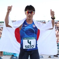
【近代五種】佐藤大宗〔パリ五輪〕
-
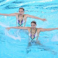
【アーティスティックスイミング】日本代表〔パリ五輪〕
-
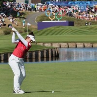
【ゴルフ】山下美夢有〔パリ五輪〕
-
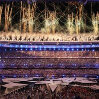
閉会式〔パリ五輪〕
-
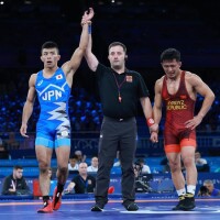
レスリング〔パリ五輪〕